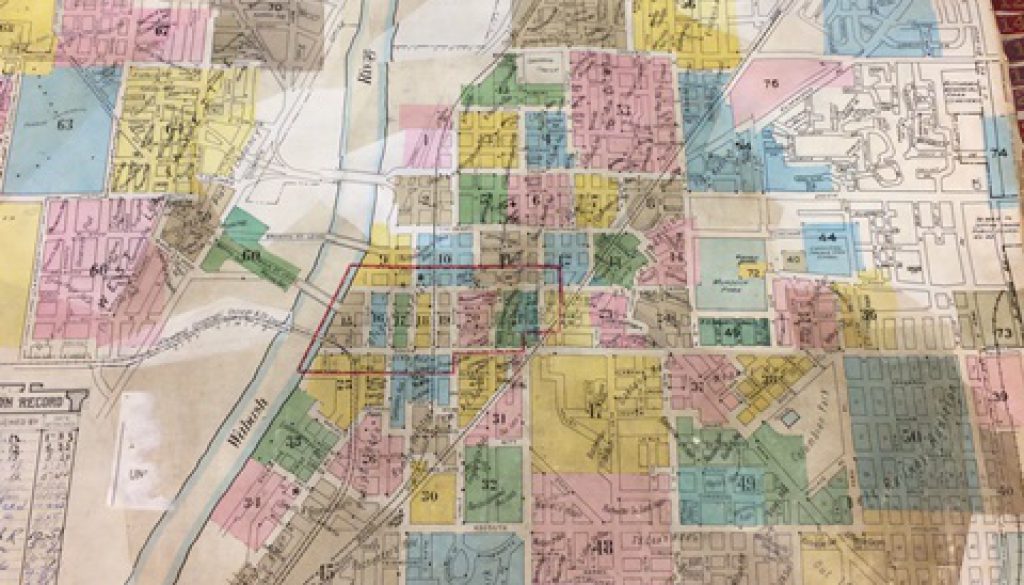
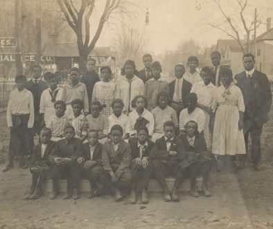
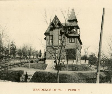
The Sanborn Fire Insurance Maps were donated to the Alameda McCollough Library/Archives in the early 1990s. Included is a very rare 1875 edition of Lafayette, plus city maps of 1880, 1885, 1907 and 1915, featuring “paste-overs” which record changes and additions until ca. 1941. A recent addition to the collection includes edits through the 1970s.
According to Chadwyck-Healy, Inc., “The Sanborn Fire Insurance Maps form the single most important research source for the development of urban America during it major growth –from Reconstruction to 1950… These maps record the creation – and the decline – for urban areas, building by building.” Because of this, original Sanborn Maps are usually the most heavily used in map collections of both public and academic libraries. Genealogists, local historians, architectural, urban, business and economic historians, geographers, demographers, transport researchers, environmentalists, and urban/industrial archaeologists all find use of the “Sanborns” vital in their research.
Just what are the Sanborn Fire Insurance Maps? They are large-scale plans – 65 x 55 cm – showing the outline of each building in the city, with the size, shape, and construction, and location of windows and doors. The maps also give street names, street and sidewalk widths, property boundaries, building usage, and house and block numbers (both past and present). By examining the maps, a picture of growth and expansion can be perceived.
Textual information on construction details is given, and by use of various shadings, different building materials used can be identified. Also given is extensive information on building usage and details on what was manufactured in them.
The maps originated in London near the end of the 18th century, and were created in response to the need of detailed information relating to possible fire risks of individual commercial, residential, and industrial structures. The very early fire insurance underwriters personally inspected properties under consideration; however, the growth of businesses and private residences made this practice neither feasible nor economical. Therefore, the practical solution was the insurance map.
Walter Ristow, Chief of the Geography and Map Division of the Library of Congress, feels that George T. Hope of New York City, an official of the Jefferson Insurance Company, was the “grandfather” of American insurance cartography, having begun in 1850 to compile a large-scale map of that city. The format and symbolism adapted at that time have set standards for fire insurance maps that persisted with few modifications for over a century.
There have been two major tire insurance map publishers – Baist in Philadelphia, and the Sanborn Company, New York. The U.S. Library of Congress has a remarkable collection of the fire maps because of the requirement of depositing copies for copyright. Their Sanborn Fire Insurance collection contains 623,000 maps of 10,000 American cities and towns, having periodical updating until 1961.
It’s interesting to note what is printed in the front of the Lafayette 1885 Sanborn Fire Insurance Map: “Map sent at the request of companies which you represent, ….for your exclusive use in reporting risks to your company.” In addition to giving detailed city layout, city section by city section, the map also lists the population of Lafayette, condition of the water facilities, and the prevailing winds. Information on the waterworks contains the description and condition of the system and the number and types of facilities available; for the fire department, listed were the number of men, type, amount, and condition of the equipment (even to the fire hose), number of fireplugs, and type of alarm system with number of alarm boxes included.
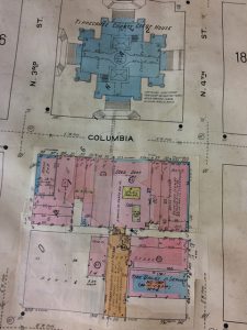
TCHA’s Sanborn Fire Insurance Maps were conserved by encapsulating each page in a “Mylar Sandwich,” as recommended by the U.S. Library of Congress. They have also been placed in a special protective binder or map case. These conservation steps were made possible by funds from the Eisenbach Book Fund and budgeted monies for archival conservation.
Thank you to the Underwood Agency, for this very valuable, vital resource, and thanks, too, to the Eisenbach Book Fund for helping provide the means for conserving these most important resource documents.
These local Sanborn Fire Insurance Maps are available for researcher at the Arganbright Genealogy Center during regular library hours or by appointment. You can also browse online collections of Sanborn maps at the Library of Congress or through the Indiana University Libraries website.
This article originally appeared in the Weatenotes, Vol. 25, No. 9 of August 1992 and was written by Sandy Lahr. Additional information was added to the article in 2019.

